It’s no secret hiking is a big part of the Seattle culture. The city is tucked between Puget Sound, the Olympia Mountain range, and the Cascades. While there are countless hikes through the entire Pacific Northwest region, it’s only a short drive out of Seattle to find popular trails. Poo Poo Point, Tiger Mountain, and Rattlesnake Ledge are just a few.
You don’t want popular though. You want a quiet trail where you don’t have to step around large groups or feel like a chump when the pros step around you. When you see a small group after no human contact for a long stretch of time it’s refreshing and meaningful to take a moment to stop and chat. But a crowded hike brings you back to everything you were trying to escape when every two to three minutes somebody tells you “you’re almost there” or asks “how much further until the top?”
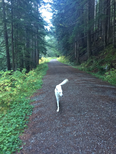
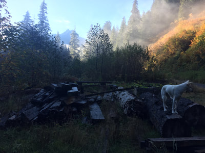
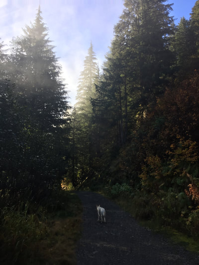
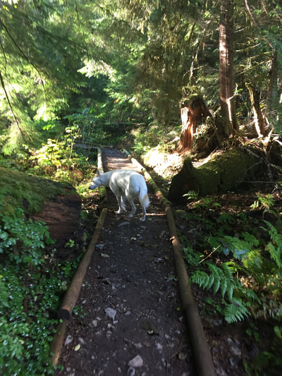
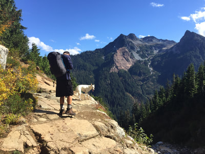
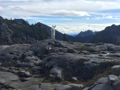
The further you’re able to creep away from the edges of civilization, the better off you are. I’m no expert though. I’ve only stepped foot on a small fraction of the Pacific Northwest trails. My former roommate, Adam, and his dog Eve—the snow white Alaskan Husky—are the real experts.
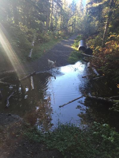
They go out every weekend they can. They'll drive forty minutes to hike for five hours, or drive two hours to hike forty minutes; it doesn't matter as long as they are getting out. The more time spent out the better, but they prefer seeing new ground. Every now and then I’ve joined them; sometimes others too, making it a party. Sometimes nobody else is invited. The two of them can knock out any number of miles without breaking a sweat.
Adam and Eve cherish their time in the mountains. During his month off in August they spend the majority of their time unaccounted for and unconnected. They’ll stay out for days at a time, if not weeks. They go far from any signs of people and have faced storms, frights from animals outside the tent, and some of the most beautiful moments you and I can't imagine.
Once I tried on Adam’s filled-up pack the night before he was preparing for one of his longer trips. I could hardly stand straight with the weight of the thing. I don’t know how he does it, but he says it’s all about slow steps and frequent breaks. When you have over a week's worth of food, shelter, and water on your back, it’s not about pushing forward, it’s about embracing each moment.
Days before trying on his pack, we went on a hike together with Eve. This one was my request after stumbling upon something online. Sure, it was an easy hike, flat trail and all, but recommended as an intriguing experience. The destination: Monte Cristo.
As the legend says, based on what my older sisters have told me, I regret to have been informed that I was conceived in Monte Carlo along the French Riviera. Perhaps that’s why when I saw the name Monte Cristo, Washington, the name caught my attention.
It turned out that Monte Cristo of the Pacific Northwest is the gimmicky remains of a once-upon-a-time mining town; a ghost town. The ghost town being the culmination of an low-key flatland trail; a leisurely hike that Adam (and maybe Eve?) agreed to go on in early August before taking off for their real adventure.
We woke up before sunrise and made sure we had everything we needed. Despite it being August, the morning was cool. I’d learned lessons on previous hikes like you need to bring gloves uphill and you’ll get way more hungry than you’d think. I packed accordingly.
We headed north outside the city; Adam at the wheel, Eve napping in the back. I gazed out the window at long fields below the highway hidden under a mysterious dense fog that hovered maybe six feet above land. It was still dark out but the fog was ghostly white. Adam told me when the sun starts to come up is the best part of the drive. All my former hikes were spontaneous, later-morning ones where I hadn’t witnessed the night to day transition in the beautiful countryside setting of the Pacific Northwest, evidence of the city long behind me.
That drive north, and then east, really was something. Hints of the sun preceded signs of daylight with layers of black on blue on pink on a slimmer of yellow above the silhouetted mountaintops. It was beautiful, and I’m sure Adam planned our timing accordingly so we'd turn east once the colors of the sky began to change.
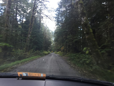
We left civilized land and made our way along a beat up road in between high standing mountains. The few remaining houses were behind us and cell phone service was long gone. We arrived at Barlow Pass where we were supposed to find the beginning of the trail. We walked around a bit and found a couple other trails starting there, but nothing regarding the Monte Cristo trail. So we got back in the car and drove further away from civilization. We had the feeling we weren’t about to aimlessly arrive at the start of the trail, but without having cellphone service we drove on looking for the next official posted map.
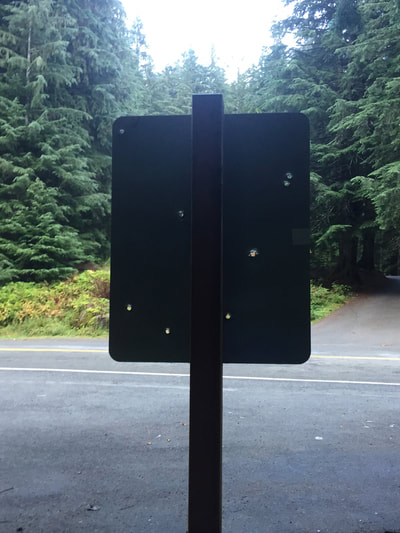
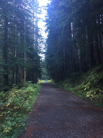
Once we found one, and realized where we needed to go—down the closed-off road at Barlow Pass—we backtracked to the same spot we initially got out at, passing by a few parked trailers and tents on the sides of the road a second time. We parked the car next to the same bullet bitten Barlow Pass sign as before and made our way by foot down the closed road.
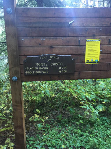
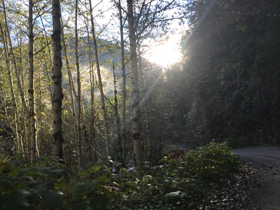
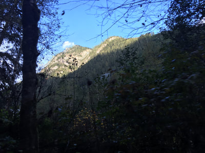
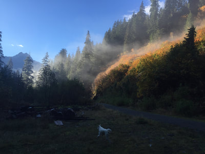
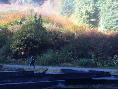
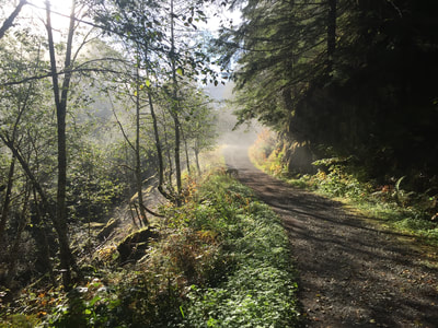
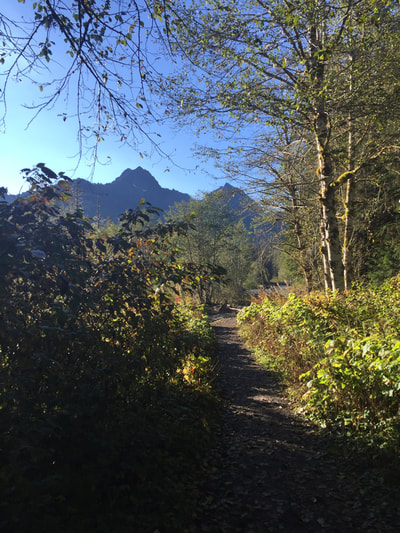
The first appearance of a wooden sign marking the beginning of the trail felt like a minor feat on its own, as it wasn’t easy to find. We were officially on our way, and once off the road we walked along the side of a shallow river. Now that we were in a valley between mountains, the sun still didn’t fully loom over us, but by this point it was peeking through wherever it could, highlighting the colors of nature in contrast to the foggy shadows we’d steered through by car and foot all morning.
If the start of the trail was hard to find, the rest of it was equally as tricky. Almost immediately we found ourselves at the crossroads of the Monte Cristo Trail and Gothic Basin Trail. What seemed to be the Monte Cristo trail simply brought us a few feet down a slope to the river edge. It seemed more like an off trail shortcut to a swimming spot than a split trail. There were partial remains of a railroad bridge in the middle of the river, but it touched land on neither side. It was a sure hint that more remains might be across the river, but with no clear passing across, there was no true evidence.
Perhaps somewhere, as we later understood, there was a fallen tree that hikers are able to cross, but we found no sign of it. So we continued on at the fork away from the river, still curious if it might wrap back around towards the river and offer a clear continuation of the Monte Cristo Trail.
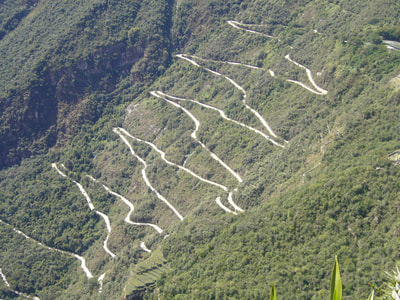
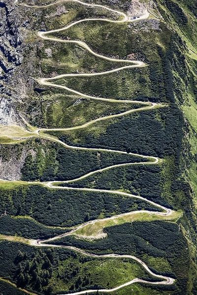
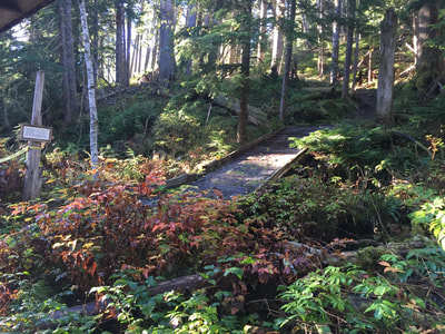
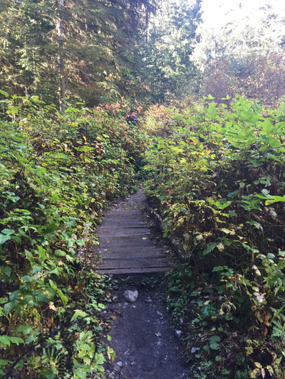
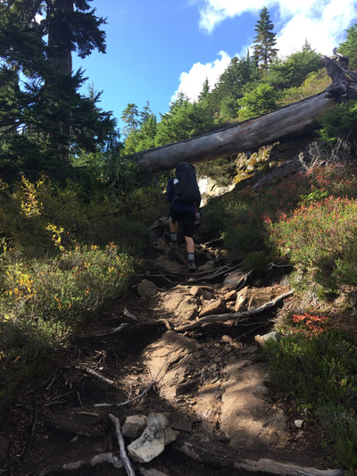
That was not the case. We figured that out right away as we already knew the Monte Cristo trail had a maximum elevation climb of 700 feet, and we shortly came across switchbacks; a steep uphill zigzagging portion of a trail. Switchbacks are no fun. Not only are they steep, but the scenery doesn’t change and it feels like you make very little progress. You walk the same stretch in one direction, only to turn around and walk the opposite direction just a little bit higher up, and so on.
*** examples of switchbacks as found on the Internet
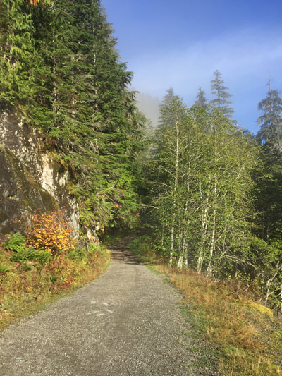
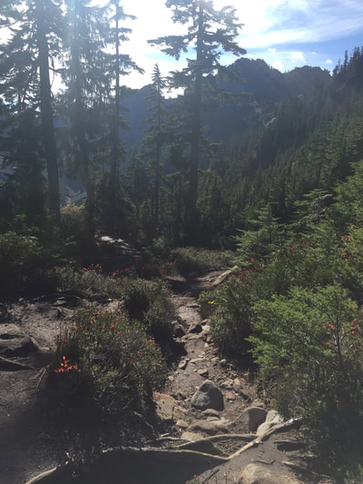
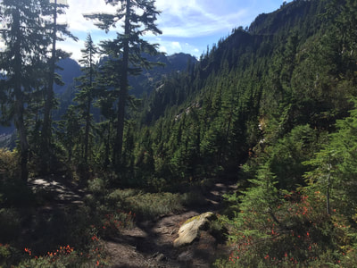
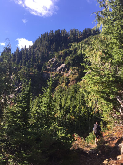
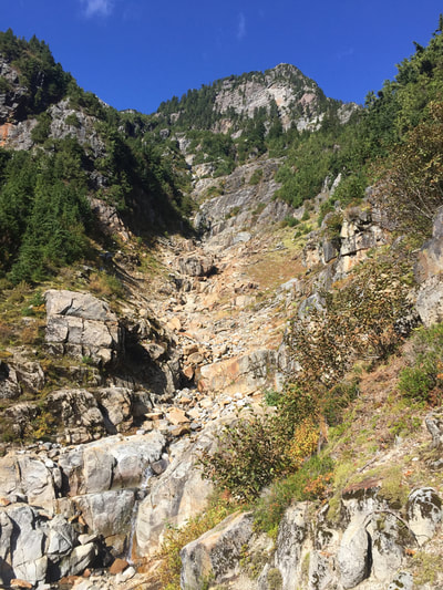
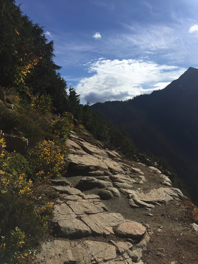
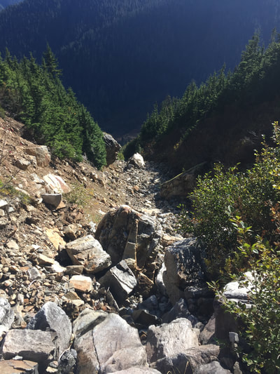
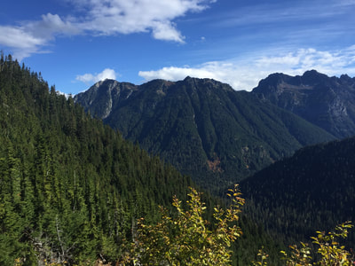
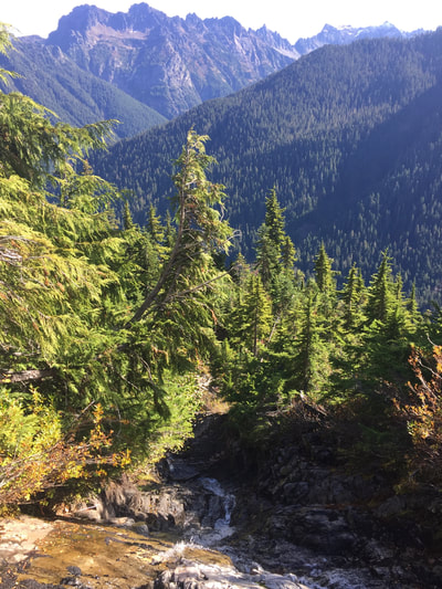
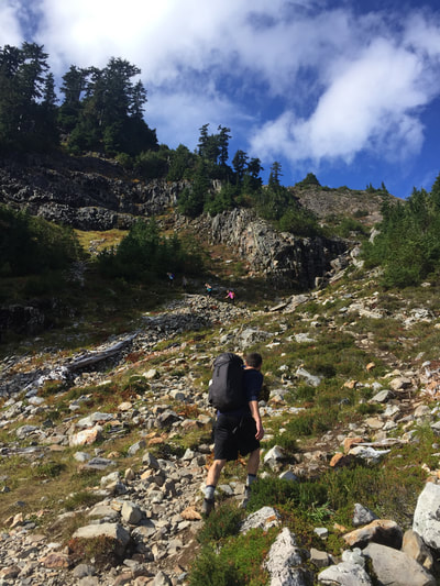
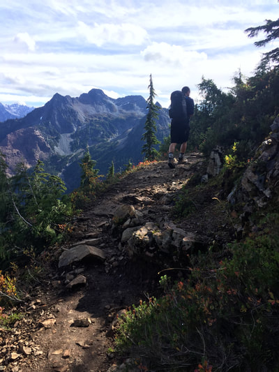
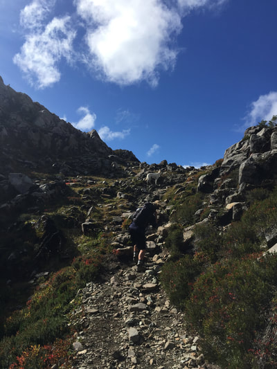
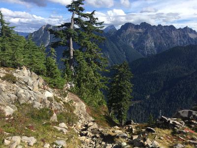
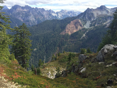
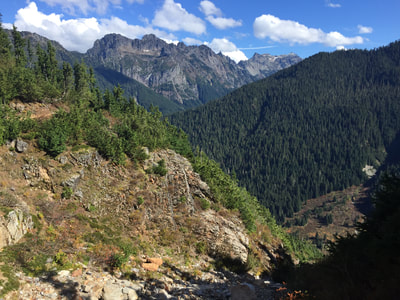
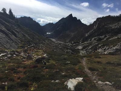
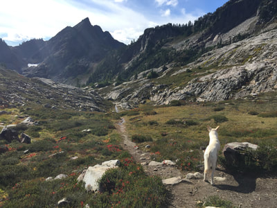
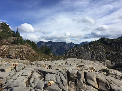
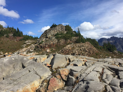
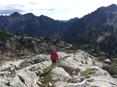
We were now committed to the new trail we were on, and interested in what we might find, if not the ruins of an abandoned mining town. I’m not sure how long we were on the switchbacks, but by the time we were off them the sun fully exposed the land round us. We were no longer surrounded by the massive trees that sheltered the switchbacks, but legitimately on the side of a mountain, looking out at endless peaks around us. The rest of the hike would be less of a dirt path and more of a rocky climb.
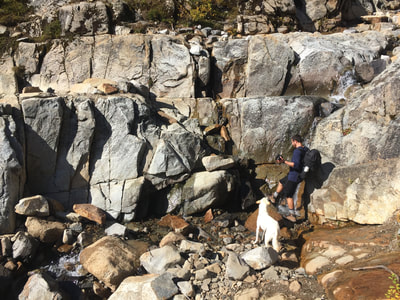
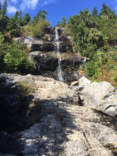
Now that we were on the side of the mountain, the trail continued upwards, but now wrapped around the side of the mountain. With a waterfall as a divider, we continued along a rocky terrain across to another mountain—a higher one—and continued on, wrapping around that one too.
We hardly saw anybody along the way. A few people were headed down that had camped overnight, but with our early start we were among the first to head upwards that day. We let a group of four University of Washington girls pass us by, who moved at a remarkable pace, granted they didn’t have a dog with them. We first heard them below us on the switchbacks, then they came into view, and once we got to the waterfall we decided to take a water break and give them a chance to tell us how “cute” Adam’s dog was as they passed by.
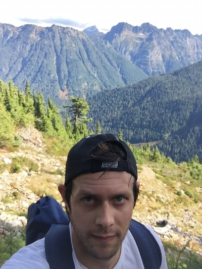
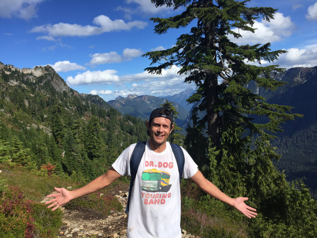
I started the day in rain pants, a t-shirt, lightweight jacket, gloves, and a knit cap. It was a cool morning, but I figured it’d be better to leave my sweatshirt behind. It didn’t take me long to take the pants off and go with shorts. The jacket came soon after, and was crumbled up into my rucksack. The knit hat was switched out for a cap, but the gloves stayed on longer than anything else. By the time we let the girls pass us, my shirt was not only drenched through, but the part of my rucksack pressed against my back absorbed a load of my sweat too. The hair peaking out from my cap was slicked to the side. None of this bothered me. I was out in nature taking in every bit of the experience. There were mountains upon mountains, and somewhere in between them: me. A tiny single person in the grand scheme of what this country has to offer.
Granted I wasn’t heading up Mount Everest, or even Mount Rainer for that matter, but I was still on my way towards the top of a significant amount of rock. I’d been on other hikes before, not only in Washington, but Arizona and New York as well. You never appreciate the moments of hike more than you do in the present time. No two experiences are the same. Even if you were to hike the same trail twice, the experiences will inevitably be different, as I’d previously learned with back to back Tiger Mountain trips.
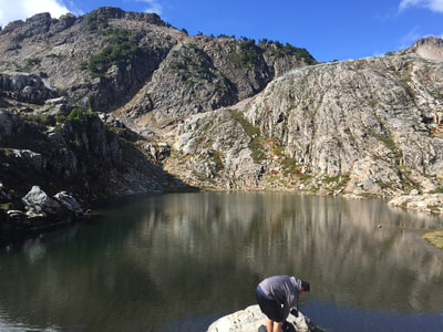
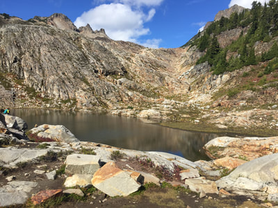
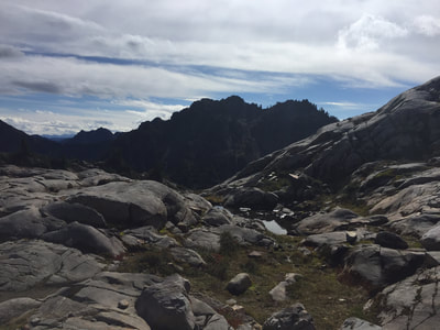
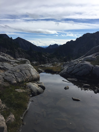
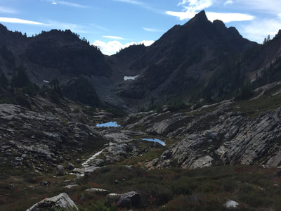
When we reached the end of the trail—Gothic Basin—the winter cap, jacket, and gloves had to go back on. We were in a sort of crater-like area, but the icy winds still whipped us. The glimmering lake up there was not frozen over, but there were pockets of the basin further away from us packed with lingering snow.
Once you reach the halfway point of the roundtrip, you sit down and reward yourself with a sandwich. This greatly appreciated tradition is something I learned by not bringing a sandwich on my first major hike. It doesn’t matter what kind of sandwich you have; in that moment when you reach the turnaround point of a hike, it’ll be the best damn sandwich you’ve ever had. You’ve earned it.
You don’t want to head back down the trail. Not because you’re tired, or think it’ll be tough, but a true hike will take you to a place you have trouble letting go of. You find yourself wanting to look around just a moment longer before forcing yourself to return back to the car, the highway, the city, and finally home.
So we walked around the basin a little more, found the highest point we could reach, and finally took photos of the four UW girls on their phones for them, and headed back down.
On the way down a fair amount of people were heading up that looked as wiped as I felt at the certain point on our way up when we passed them. Heading down though, I was re-energized, refueled with sandwich, and grateful for enjoying the view from the top.
We were sure that others on their way up to Gothic Basin had also originally set out for Monte Cristo. They looked unprepared with clothing, gear, or fitness. And by the time we got back to the switchbacks, those struggling uphill would surely not reach the end of the trail and make it back down before daylight gave out. There was no way we were oblivious enough to totally miss the way to Monte Cristo without that being a reoccurring thing for other hikers as well.
Once we reached the bottom we investigated again, going back down that slope to the river. We started hopping across randomly assorted rocks peeking out of the water until we were able to get to the remains of the bridge. Once on the bridge, we still saw no sign of a fallen tree in either direction, but there certainly were people on the other side. We know we missed something, but we agreed we were happier with the hike we ended up taking.
Monte Cristo would have been an 8 mile roundtrip hike of the previously mentioned 700 foot elevation climb. The hike to Gothic Basin was 9.2 miles with a 2840 elevation climb, bringing you to a total height of 5200 feet above sea level.
We never saw the ghost town that sounded so intriguing, but hey, a change of plans are not a bad thing. Whether you're on a trail, or walking through life, there isn't one set path before you. Every little decision you make will alter the outcome of your destination. You can't think about what you might have missed when you can appreciate what you've found.
If you're ever in the Pacific Northwest be sure to utilize the official website of the Washington Trails Association to learn about the various opportunities and challenges.
CONTACT ME WITH QUESTIONS OR COMMENTS
Proudly powered by Weebly
